
Description
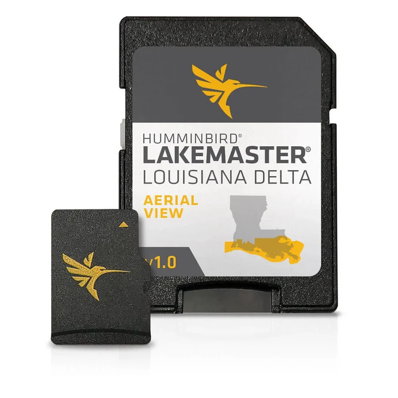
Humminbird LakeMaster now offers high resolution aerial photography of the Louisiana Delta on one micro card (with SD adaptor).
- View all the hidden features of the Louisiana Delta with real life aerial views of shorelines, waterways, landmarks, obstructions, roads, marinas, canals, and channels
- Also includes nav aids, lake names, points of interest and more
- Can overlay on top of other navigation charts such as Humminbird Basemap on applicable GPS-equipped Humminbird fish finders
- Opened packages are not eligible for return
- 30-Day Cartography Warranty
Compatibility
- Current Models: HELIX 10, SOLIX 10, SOLIX 12, HELIX 9, APEX 16, HELIX 8, HELIX 15, HELIX 7, APEX 13, HELIX 12, ICE HELIX, SOLIX 15, HELIX 5, APEX 19

Reviews
There are no reviews yet.